
Changing the game is hard. Looking like a player shouldn’t be.
We Capture the World in Unseen Detail
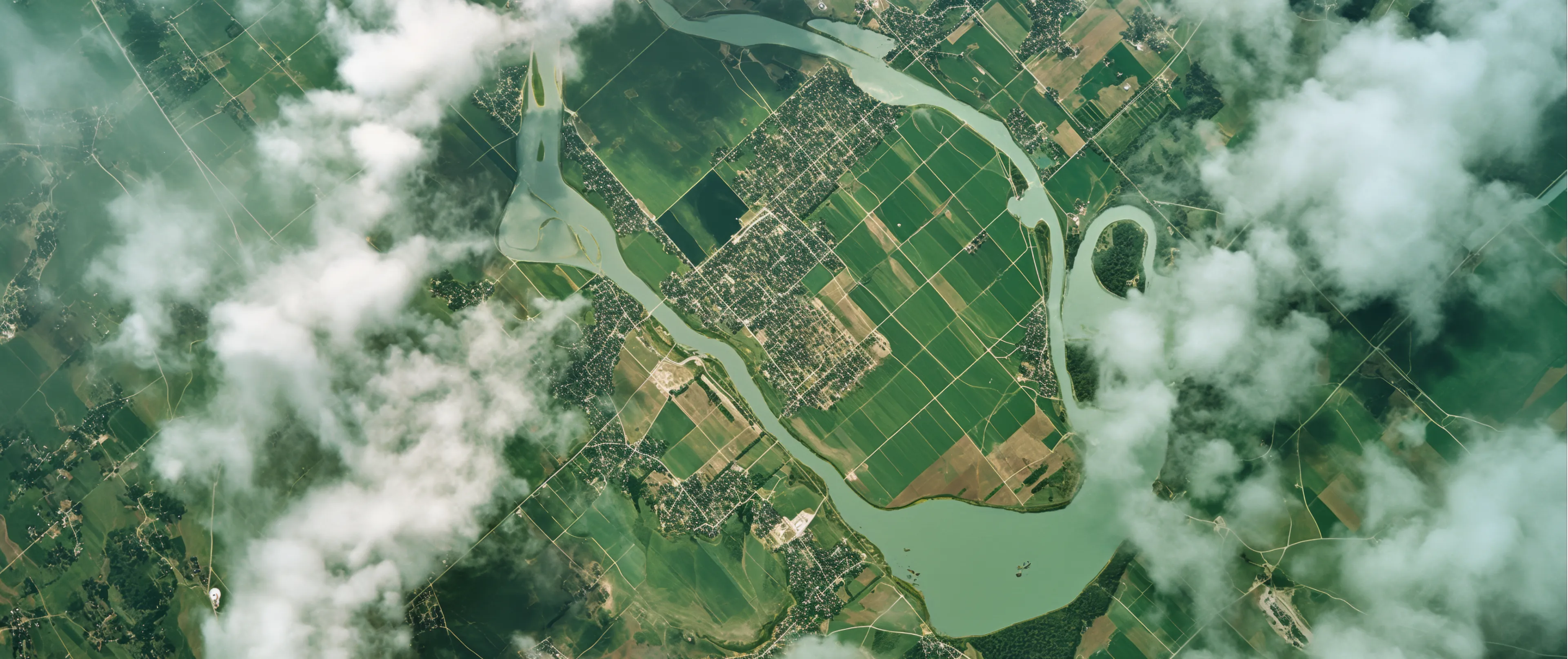
Satellites provide scale, drones provide detail — but projects often need both speed and resolution. Skyarc fills the gap with stratospheric and high-altitude platforms that capture centimeter-level imagery and deliver analysis fast, so teams can plan, validate, and respond with confidence.


Changing the game is hard. Looking like a player shouldn’t be.
Precision Imaging for the World’s Most Ambitious Projects
Site Intelligence for Large-Scale Builds
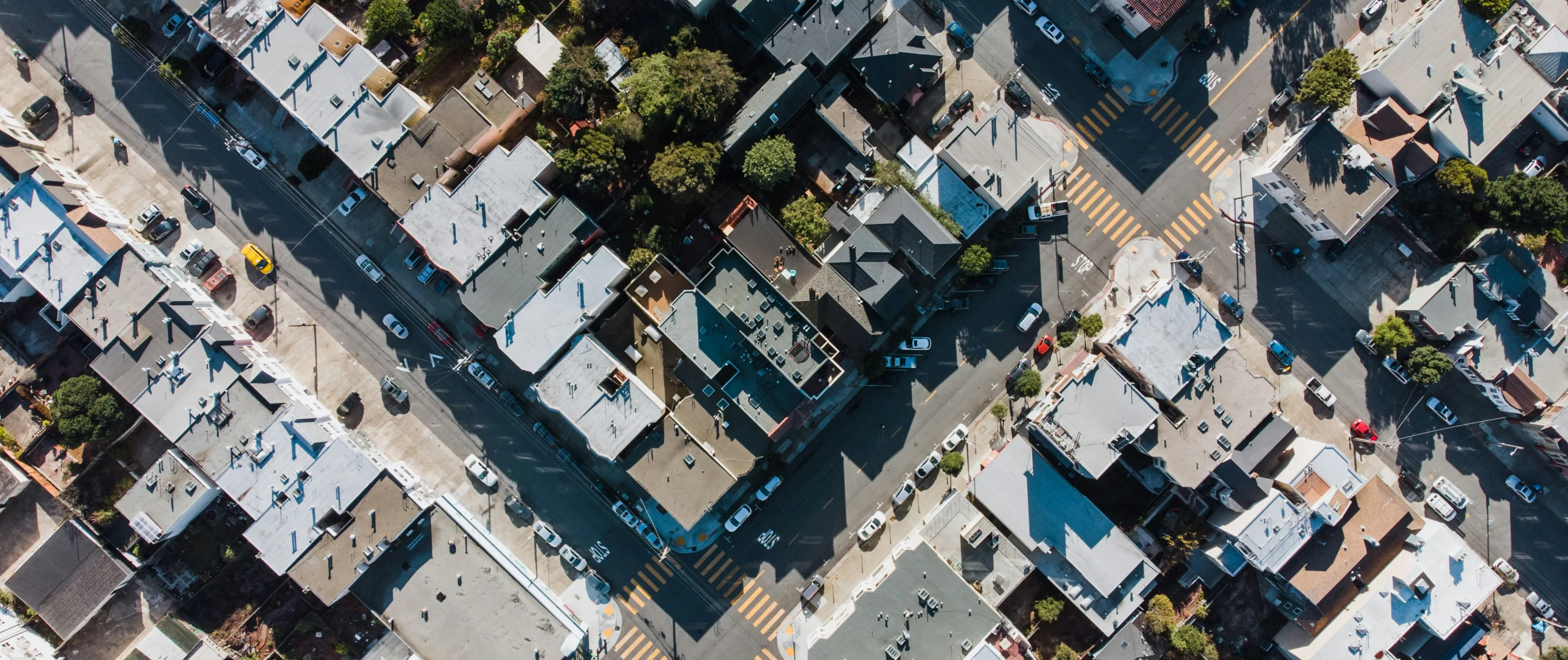
Monitor progress, validate work, and optimize logistics with ultra-high-resolution aerial imagery. From bridge inspections to urban development, Skyarc’s data helps engineers and contractors track every milestone with precision and avoid costly rework.
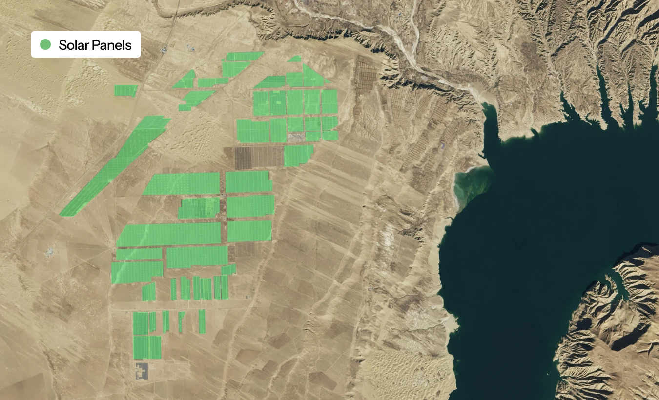
Asset Surveillance & Operational Assurance
Empower operations across renewable and traditional energy assets. Our stratospheric imaging provides site intelligence for solar farms, wind parks, pipelines, and remote exploration zones — ensuring safety, performance, and regulatory compliance from above.
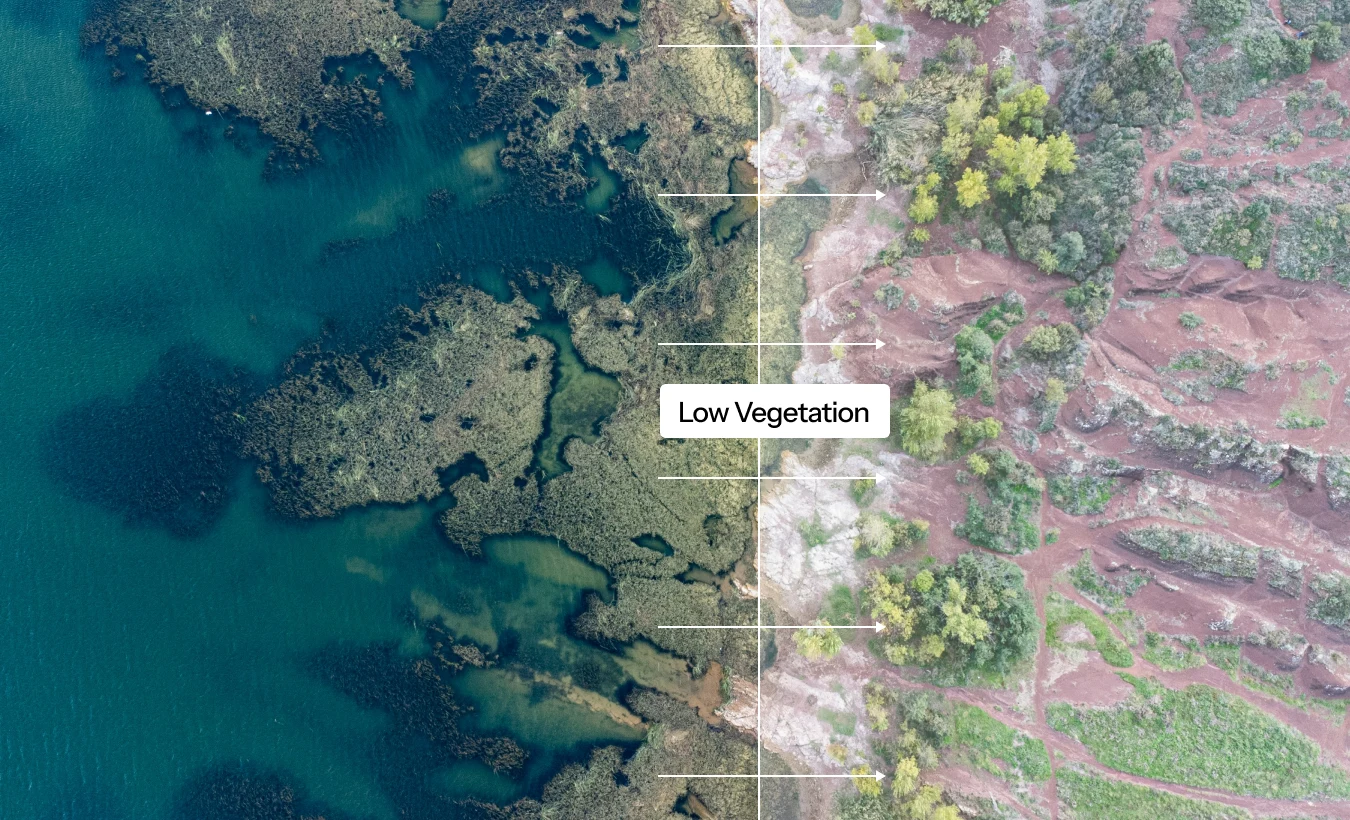
Environmental Monitoring & Change Detection
Protect ecosystems, track deforestation, and measure change over time with environmental-grade imaging. Governments, NGOs, and environmental firms use Skyarc’s persistent monitoring to gain insights that support conservation and smart policy decisions.
Changing the game is hard. Looking like a player shouldn’t be.
Vision, Scale, and Insight — All from Above
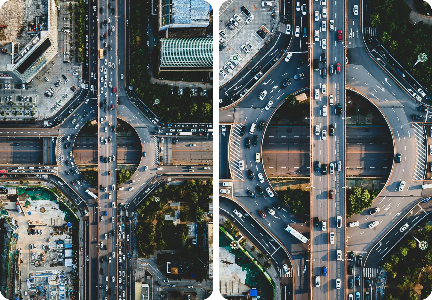
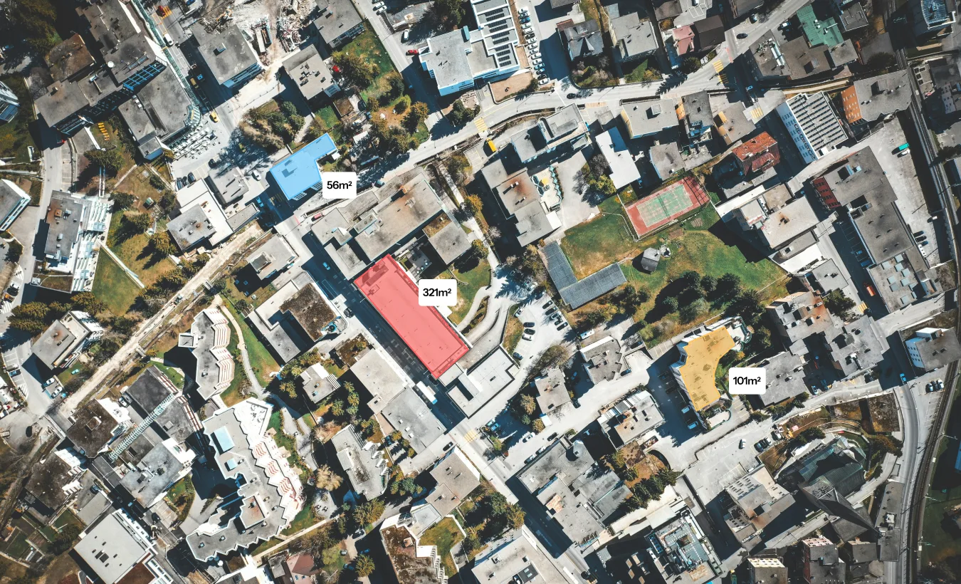
High- Resolution Aerial View
Capture every detail with ultra-high-definition imaging. Skyarc delivers centimeter-level precision that reveals patterns, infrastructure, and terrain data invisible to traditional aerial systems.
Wide Coverage
Our wide-area imaging network covers entire countries in a single mission — providing consistent, high-quality data for organizations operating across borders, sectors, and scales.

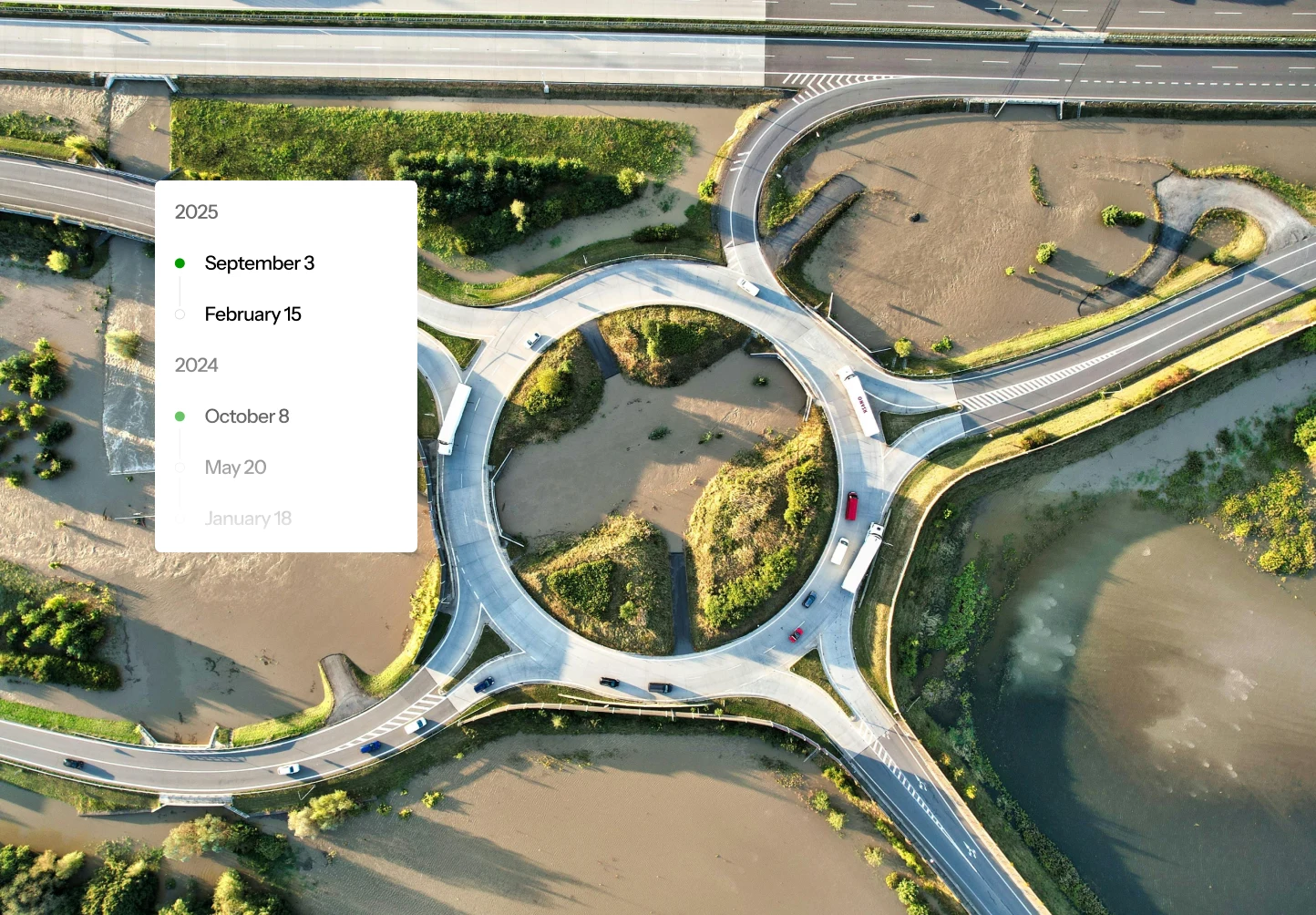
Living Archive
Access a dynamic visual history of the planet. Skyarc’s continuously updated archive lets you compare past and present conditions, monitor change over time, and build predictive insights from historical imagery.
Key Numbers